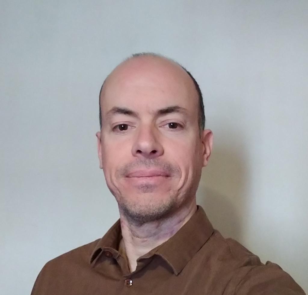
by Michael Rodrigues
Abstract
As GIS techniques evolve, our ability to leverage spatial data will significantly increase. By making spatial data more accessible and understandable, we can help people learn about the world around them and make better decisions. This workshop bridges the gap between academic and practical applications of mapping techniques. It explores the theoretical foundations of various mapping methodologies while emphasizing their real-world applications. Participants will gain a deeper understanding of how cutting-edge mapping techniques are developed and implemented.
About the speaker:
Michael Rodrigues is a geographer with a comprehensive background in geographic information systems (GIS) and a commitment to enhancing understanding and decision-making through spatial data. His journey began with a vocational qualification as a GIS technician, laying a strong foundation for his subsequent academic achievements. Michael earned a degree in Geography with a specialization in GIS and Cartography, followed by a Master's in GIS applied to planning, and ultimately completed a PhD in Geography. Driven by the belief that GIS holds immense potential as an educational and communicative tool, Michael has dedicated his career to developing innovative methods for visualizing spatial data.


