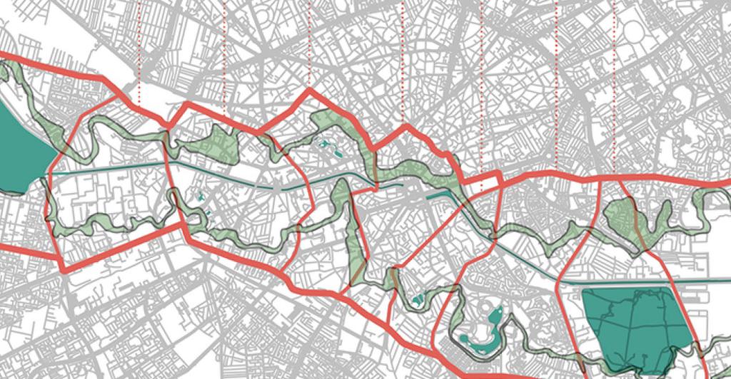
CriSp (City River Spaces) - Automated and Scalable Delineation of Urban River Spaces with Spatial-Temporal big Data
Main Presentation by Claudiu Forgaci
Urban river spaces are increasingly acknowledged as vital green-blue corridors and public spaces. While embracing this trend, spatial designers, planners and decision-makers face the challenge of capturing the specificities and complexities of riverside urban areas. An essential part of that challenge is how boundaries are drawn, as the resulting spatial units of analysis and decision-making can have a considerable impact on the sustainability of urban riverspace transformations. CRiSp (City River Spaces) is an open-source software that automates the process of spatial delineation, and leverages spatial-temporal big data for scalable analysis, and thereby enable new research avenues such as global cross-case analyses.
Every month at our PortCityFutures team meeting, one of our members or a guest hosts a short presentation about their current or past research. If you want to attend the presentations or present at one of our meetings yourself, please contact us: info@portcityfutures.nl

